Simplicity and versatility
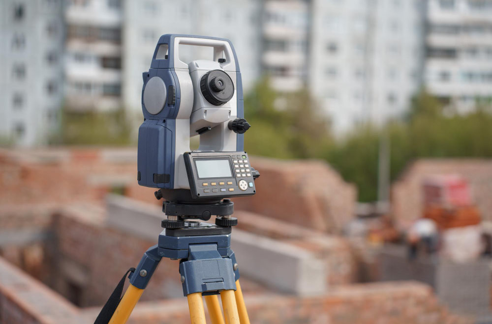
Geodesy and topography
Support of the most popular electronic total stations, area calculation, processing of theodolite traverses, linear-angle networks, construction of horizons, coordinate transformation and other geodetic calculations - all this is a part of the unified GIS "Geoproject" program complex. More than 600 standard symbols are available for creating digital topographic plans and maps.
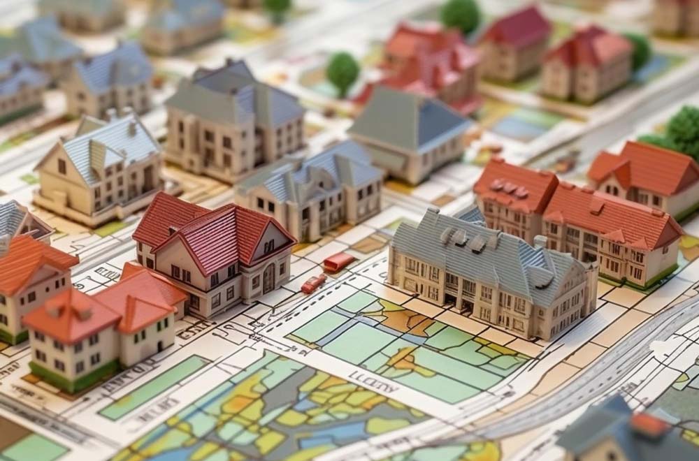
Land management and cadastre
The functionality of geoinformation systems «Geoproject» fully meets the basic needs of land surveying and cadastral enterprises. Creation and processing of cadastral quarters and plots, planning, semantics, maintenance of allotment projects, work with "in4" and "xml" files, as well as fast printing of plans and schemes, technical documentation and state acts.

Organization of production processes
The use of GIS «Geoproject» software solutions dramatically increases the productivity of the whole enterprise. The reason for this is the «full-fledged» nature of the software product and its ease of learning and use. All necessary functions are performed within a single complex and do not require expensive third-party programs. The principle of consistency and transfer allows to reduce queues and optimize document flow.
Why users love Geoproject
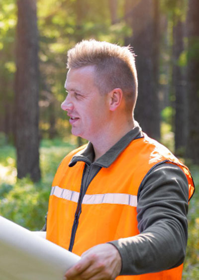
Plowing has never been easier. You start a course, mark contours, specify direction and areas, and everything is cut automatically. We have never seen such convenience as in GIS Geoproject. Now, matching contours with satellite images is a very convenient feature.
Vitaly Polozhaev
Engineer surveyor
For us, Geoproject is a revolution in our workflow. It is a very multifunctional program that facilitates cadastral and geodetic work. The program can be easily mastered in a very short time, even by a not very experienced PC user.
Yuri Pidgayny
Director of the State Enterprise
For a long time, we could not find a suitable program to process the data from our total stations. We had to do a lot of things manually. Thank you for Geoproject 5. It helps us a lot.
Mykola Marchenko
Engineer surveyor
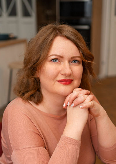
Thank you very much for the program, which has helped us save a lot of time in preparing and publishing technical documentation. Now an inventory case takes about 40 minutes of work instead of 4-6 hours we had before. It is very convenient that everything is in one place, convenient templates.
Marina Shevchuk
Entrepreneur
Now is the time!

Still documenting in MS Word? Do you use several different programs that you don't have enough money to license? Do you draw plans and maps with pencil? With GIS «Geoproject», you will quickly step out of the Stone Age into the world of optimization and technology.


